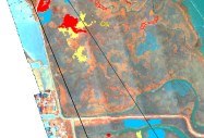
Natural Resources Mapping and Monitoring
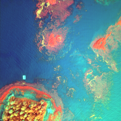 Kelp and Eel Grass Mapping
Our past and on-going projects include annual kelp and eel grass surveys for the State of California, the Oregon Department of Fish and Wildlife, NASA, the Navy and the Morro Bay National Estuary Program. We also mapped eel grass in several lagoons in Mexico as part of evaluating changes in waterfowl overwintering habitats. In 2018 we mapped eel grass in Morro Bay, CA as part of an effort that has been ongoing since 2003. We have also conducted research on developing algorithms to derive actual kelp biomass from aerial multispectral imagery in Alaska and Oregon. Additional research through NASA funding resulted in the first-ever worldwide map of kelp forests derived from satellite imagery.
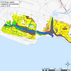 Wetland Mapping
Ocean Imaging has a long history of mapping marshes and wetlands, in many cases down to individual plant species with 10-20 cm resolution aerial imagery. We have particular expertise in providing initial data delineating native and non-native species for restoration planning and monitoring the various restoration phases and long-term progress. We have also mapped and assessed damage to wetland areas following such events as oil spills and hurricanes.
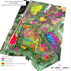 Environmental Damage Assessments
Ocean Imaging’s expertise of providing remote-sensing-based assessments of damage caused by natural or anthropogenic events span from oil and chemical spill effects to studies of water pollution sources and patterns. We work closely with other teams involved in the assessments to combine and integrate our remotely-sensed results with field-derived observations and measurements.
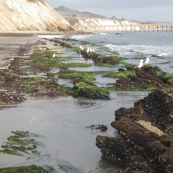 Intertidal and subtidal substrate mapping
The ability to configure our aerial multispectral imagers’ channels with specific wavelength combinations allows us to maximize water penetration while still providing multispectral reflectance characteristics that allow the identification and separation of various bottom substrates. Ocean Imaging is expert in knowing which aerial, satellite and or UAS platforms and sensors are best suited for a particular application. In some projects aerial image data are combined with satellite-derived data, multibeam sonar or LIDAR data sets to provide both bathymetry and bottom substrate type information. Our inter/subtidal data bases serve various applications such as research, resource management and coastal construction permitting. In 2010-2013 and part of a project funded by California Sea Grant and the Ocean protection Council, OI mapped the substrate and vegetation from the subtidal to the top of the intertidal zones of the coast of California from San Diego up to Point Arena.
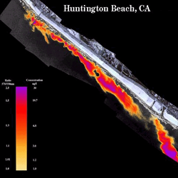 Coastal Transport and Sediment Fate
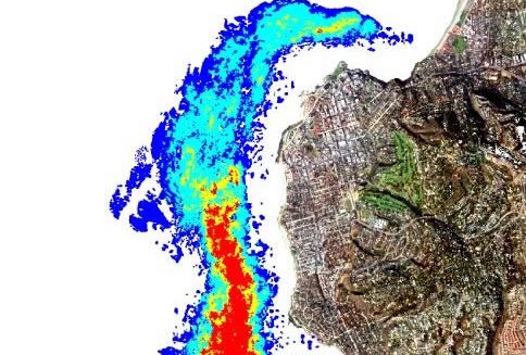
We have developed various algorithms to track and quantify suspended sediment loads from aerial and satellite imagery. Application of our analyses include water quality monitoring, beach sand replenishment feasibility studies, and identification of regional point and non-point source discharge sources affecting coastal ecosystems.
Services and Capabilities
Fisheries Support Services
Natural Resource Mapping and Monitoring >>
Oil Spill Response and Research
Geospatial Environmental Analysis
Resource Management and Litigation Support

 Eel Grass Mapping:
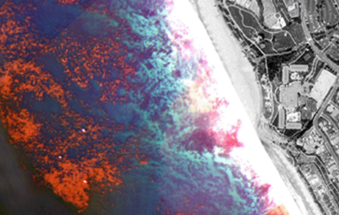 Kelp Mapping:
 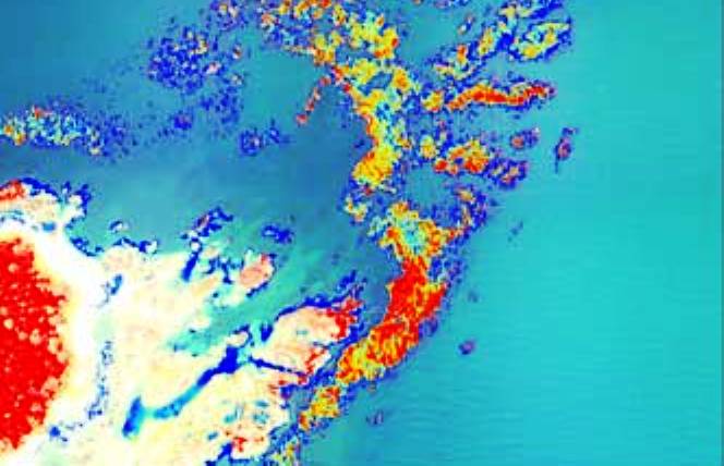 Kelp Mapping:
 Kelp Persistence Map:
 Kelp Biomass Index


